Colour printed atlas sheet map by George Philip & Sons Ltd. From an old copy of Cassells New Atlas (5th Edition) May 1930
Maps - Shop
Maps & Atlases
Antique,Vintage, Collectable
Click on the categories below to refine your search
All Products In This Category:
Colour printed atlas sheet map by George Philip & Sons Ltd. From an old copy of Cassells New Atlas (5th Edition) May 1930
Colour printed atlas sheet map by George Philip & Sons Ltd. From an old copy of Cassells New Atlas (5th Edition) May 1930
Colour printed atlas sheet map by George Philip & Sons Ltd. From an old copy of Cassells New Atlas (5th Edition) May 1930
Double sided colour printed atlas sheet maps by George Philip & Sons Ltd showing China to front and Japan to reverse
Colour printed atlas sheet maps by George Philip & Sons Ltd. From an old copy of Cassells New Atlas (5th Edition) May 1930
Colour printed atlas sheet maps by George Philip & Sons Ltd. Printed on both sides-Choose The East Indies and Further India on one side or The Philippines, Borneo and Java on the reverse side. From an old copy of Cassells New Atlas (5th Edition, May 1930
Colour printed landscape atlas sheet map depicting The Pacific Ocean Map by George Philip & Sons Ltd. The London Geographical Institute. See photos for scaling...........
Colour printed portrait atlas sheet map depicting Settlement and Exploration Of Australia, New Zealand / Tasmania. Map by George Philip & Sons Ltd. The London Geographical Institute. See photos for scaling......
Colour printed portrait map depicting Queensland Australia with inset map of British New Guinea Map by George Philip & Sons Ltd. The London Geographical Institute. See photos for scaling. Overall size approx 13.75 inches x 10.25 inches (34.70cms x 26 c
Colour printed atlas maps - Folded double sheet with choice with landscape map depicting The Dominion of New Zealand or single sided portrait map of Western Australia. Maps by George Philip & Sons Ltd. The London Geographical Institute......
Colour printed atlas sheet with map of Africa showing European Possessions and Sheres of Influence 1815-1930. Map by George Philip & Sons Ltd. The London Geographical Institute. See photos for scaling......
£9.65
Colour printed atlas sheet with maps of North East Africa With Egypt Maps by George Philip & Sons Ltd. The London Geographical Institute. See photos for scaling.......
Colour printed atlas sheet map of West Africa with inset Sierra Leone. Map by George Philip & Sons Ltd. The London Geographical Institute. See photos for scaling......
Colour printed atlas sheet map of British South Africa, with table of distances and times by train. Map by George Philip & Sons Ltd. The London Geographical Institute. See photos for scaling.........
Colour printed atlas sheet of Canada, showing progress of discovery. Map by George Philip & Sons Ltd. The London Geographical Institute. See photos for scaling.............
Colour printed atlas sheet with 2 panel maps - Historical Map of North America and Colonisation Of North America. Maps by George Philip & Sons Ltd. The London Geographical Institute......
Choice of 2 colour printed atlas sheet maps - use either West Indian Islands or West Indies & Central America to verso........
Colour printed map of Mexico with details of distances and times by train plus Mail Steamship Lines to Mexico. Map by George Philip & Sons Ltd. The London Geographical Institute. See photos for scaling..........
Colour printed map sheet with 2 map panels-showing map of Central America and map of South America in the 17th Century with inset showing 20th Century comparison.......
Colour printed map showing the southern part of South America, with small insert showing Buenos Airies, Argentina. Map by George Philip & Sons Ltd. The London Geographical Institute. Scale 400 miles to 2 inches.........
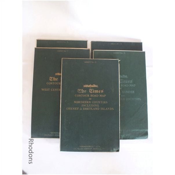
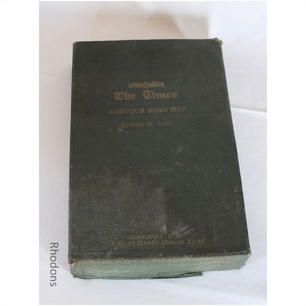
Part set of 5 (of 6) large linen backed coloured fold-out maps & original slip case. Published circa 1920s / 1930s by Times Newspapers. Scale: 3 miles to 1 Inch
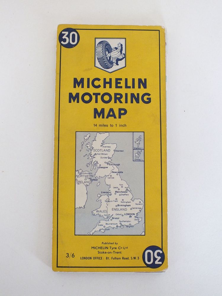
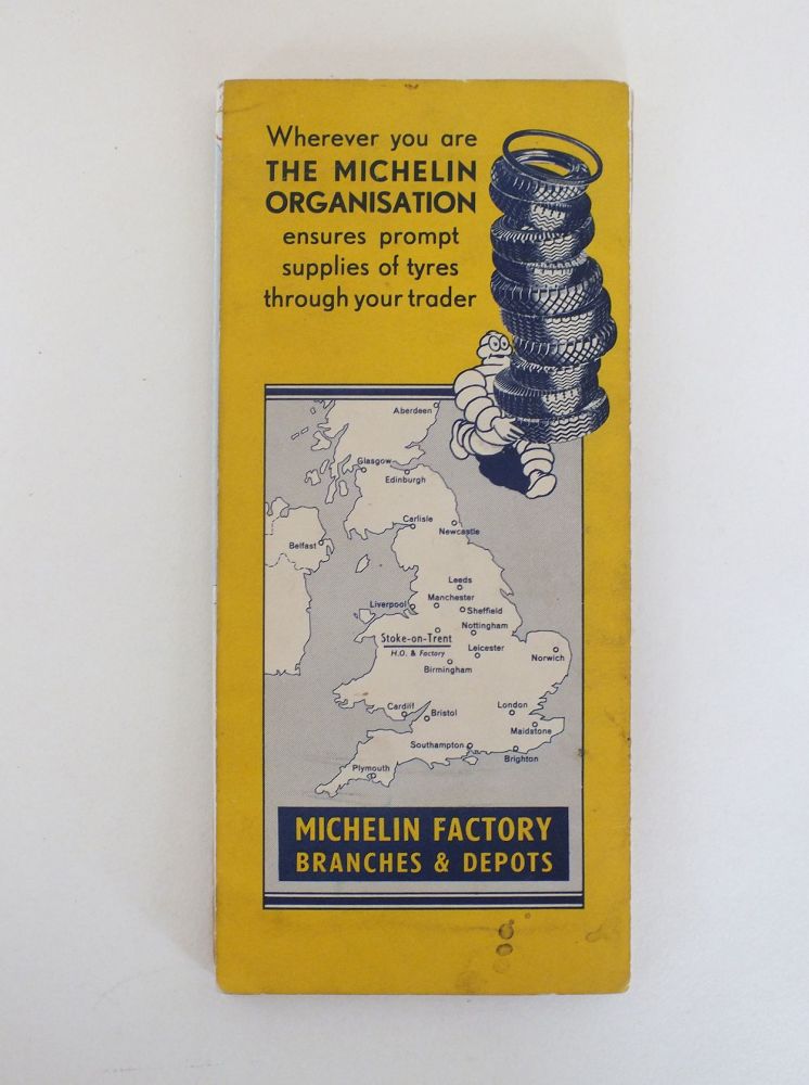
Vintage United Kingdom Folding Road Map. 14 Miles to 1 Inch Scale
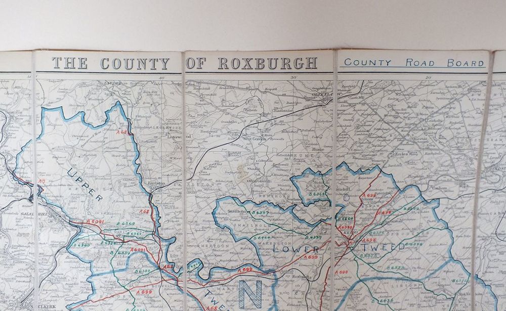
18 panel cloth backed road map for the County of Roxburgh, Scottish Borders published by J Bartholomew & Son. Scale 1:126,720
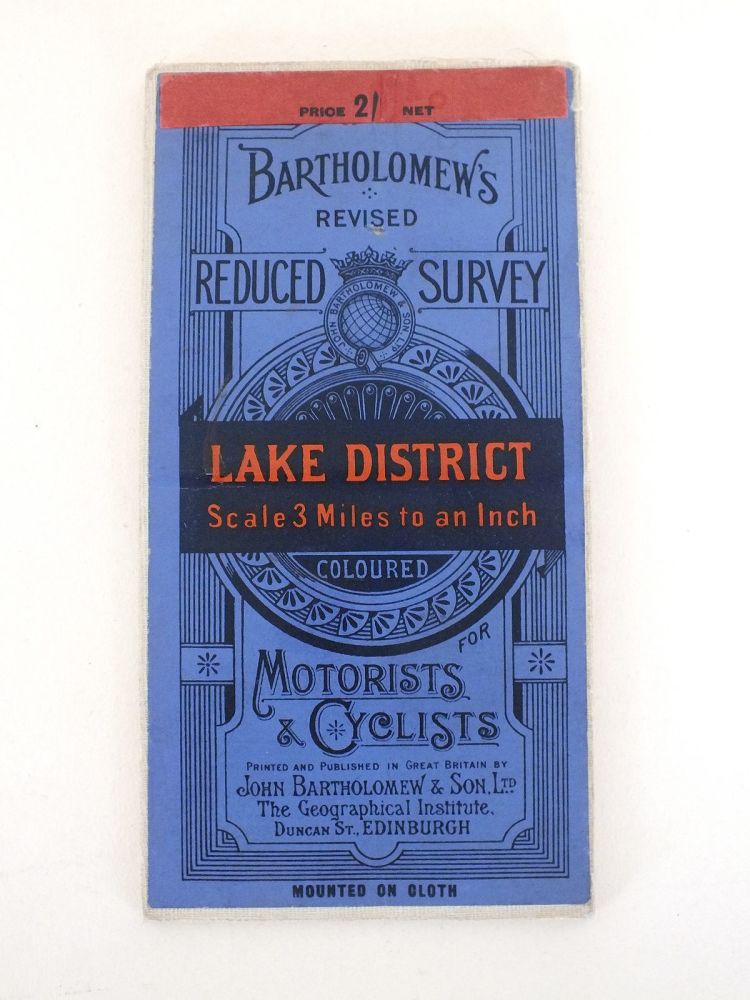
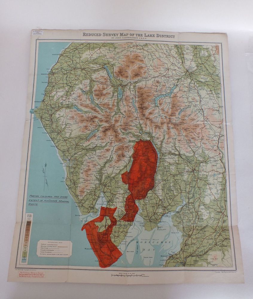
Motorists & Cyclist Map Scale: 3 Miles to 1 Inch
IMPORTANT:
CUSTOMS DUTY /IMPORT CHARGES ON OVERSEAS DELIVERIES;
Please be aware that when ordering from the UK additional Customs Duty / Import Tax(es) may be applied by your country before your item can be delivered - these are not included in the item price or shipping cost and payment is your sole responsibility.
We have no control over these charges and cannot advise you what the cost will be as this varies from country to country.
If in any doubt please check with your local Customs and Excise office for current rates before you place your order.


