Colour printed atlas sheet map of British South Africa, with table of distances and times by train. Map by George Philip & Sons Ltd. The London Geographical Institute. See photos for scaling.........
20th Century Maps - Shop
20th Century Maps, Map Prints
All Products In This Category:
Colour printed atlas sheet of Canada, showing progress of discovery. Map by George Philip & Sons Ltd. The London Geographical Institute. See photos for scaling.............
Colour printed atlas sheet with 2 panel maps - Historical Map of North America and Colonisation Of North America. Maps by George Philip & Sons Ltd. The London Geographical Institute......
£9.65
Colour printed atlas sheet with maps of North East Africa With Egypt Maps by George Philip & Sons Ltd. The London Geographical Institute. See photos for scaling.......
Colour printed atlas sheet map of West Africa with inset Sierra Leone. Map by George Philip & Sons Ltd. The London Geographical Institute. See photos for scaling......
Choice of 2 colour printed atlas sheet maps - use either West Indian Islands or West Indies & Central America to verso........
Colour printed atlas sheet map from Cassells New Atlas (5th Edition, May 1930)-Two sided sheet - one side showing The British Isles In Relation To The Continent with Europe Languages and Spellings of Place Names to verso.
Colour printed map sheet with 2 map panels-showing map of Central America and map of South America in the 17th Century with inset showing 20th Century comparison.......
Colour printed map of Mexico with details of distances and times by train plus Mail Steamship Lines to Mexico. Map by George Philip & Sons Ltd. The London Geographical Institute. See photos for scaling..........
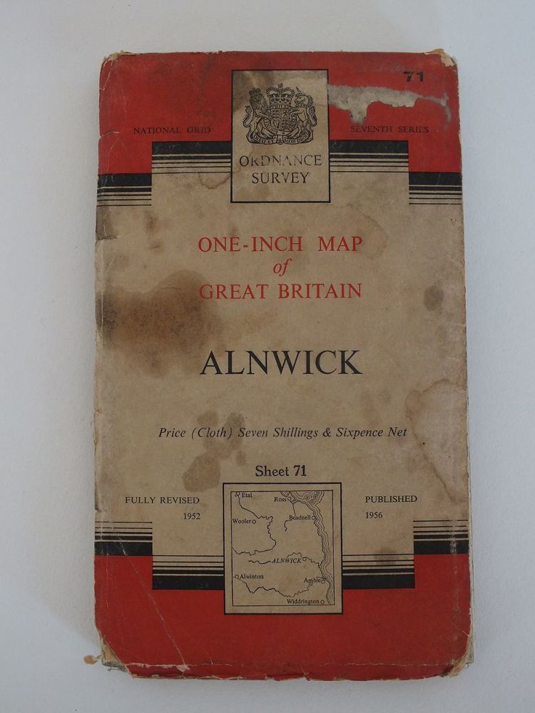
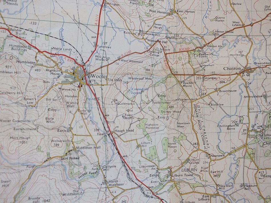
1950s National Grid 7th Series One-Inch Map
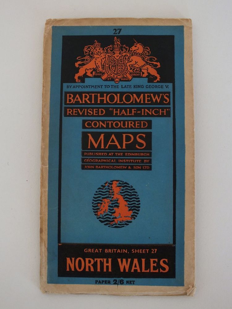
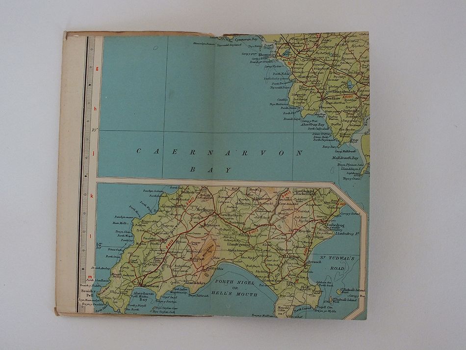
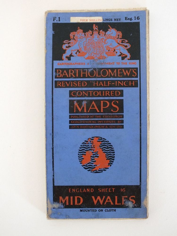
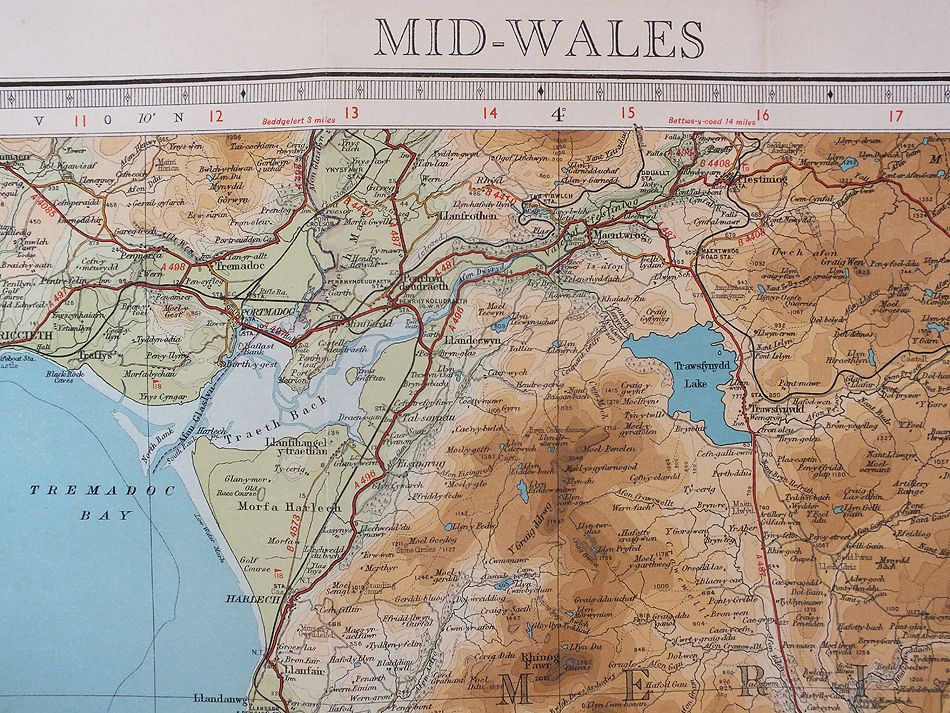
1940s Revised Half Inch Contoured Map
1/2 Inch To 1 Mile Scale
Colour printed atlas sheet map by George Philip & Sons Ltd. From an old copy of Cassells New Atlas (5th Edition) May 1930
Colour printed portrait map depicting Queensland Australia with inset map of British New Guinea Map by George Philip & Sons Ltd. The London Geographical Institute. See photos for scaling. Overall size approx 13.75 inches x 10.25 inches (34.70cms x 26 c
Colour printed atlas maps - Folded double sheet with choice with landscape map depicting The Dominion of New Zealand or single sided portrait map of Western Australia. Maps by George Philip & Sons Ltd. The London Geographical Institute......
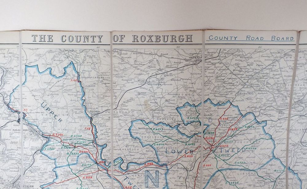
18 panel cloth backed road map for the County of Roxburgh, Scottish Borders published by J Bartholomew & Son. Scale 1:126,720
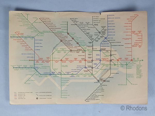
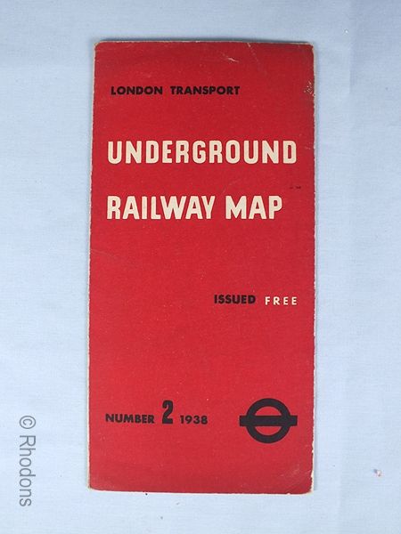
3 Fold Map dating to 1938 showing the London Underground Railway system.
Colour printed atlas sheet map by George Philip & Sons Ltd. carefully removed from an old copy of Cassells New Atlas (5th Edition, May 1930)-Sheet # 12 See photos for scaling. Overall sheet size approx 13.75 inches x 10.25 inches
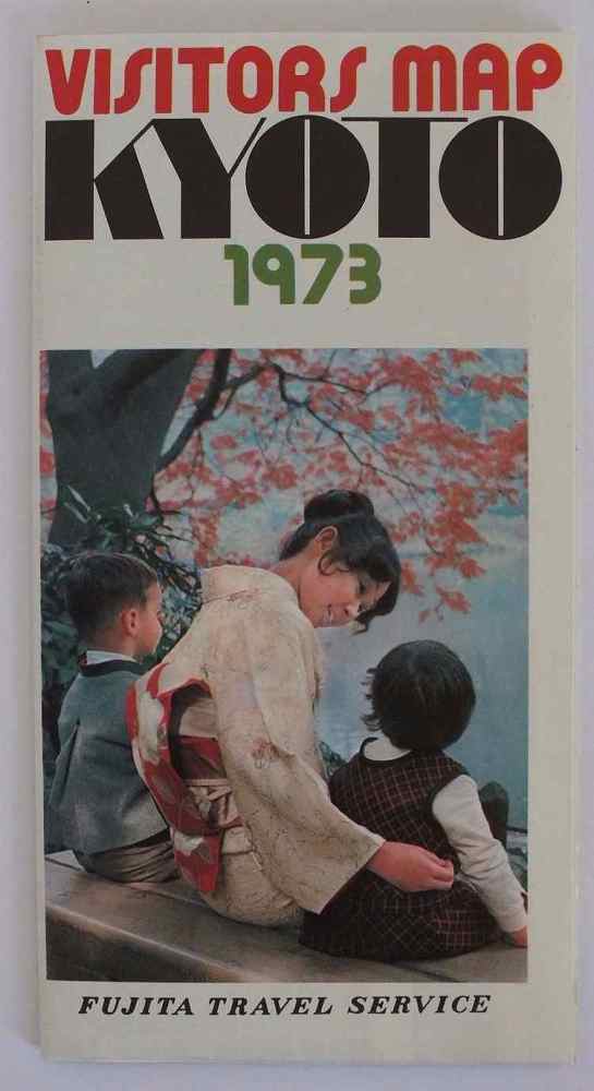
Vintage Japanese Tourist Map, Kyoto.
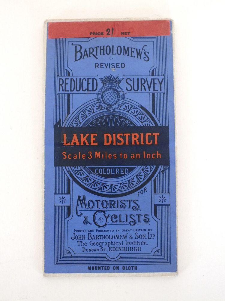
Motorists & Cyclist Map Scale: 3 Miles to 1 Inch
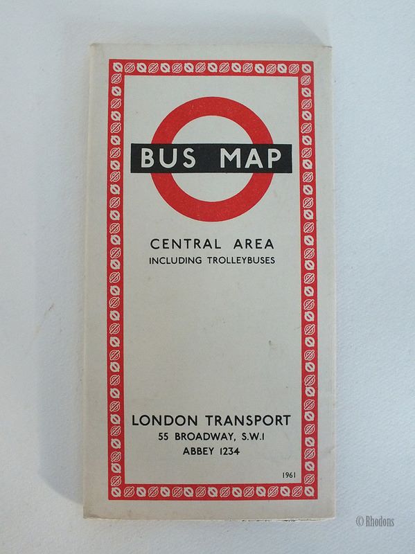
1960s bus & trolleybus route map. Published by London Transport - Ref No: 661/1639E 250M.No3. Useful addition to a collection, or an authentic period prop for theatre, display etc.
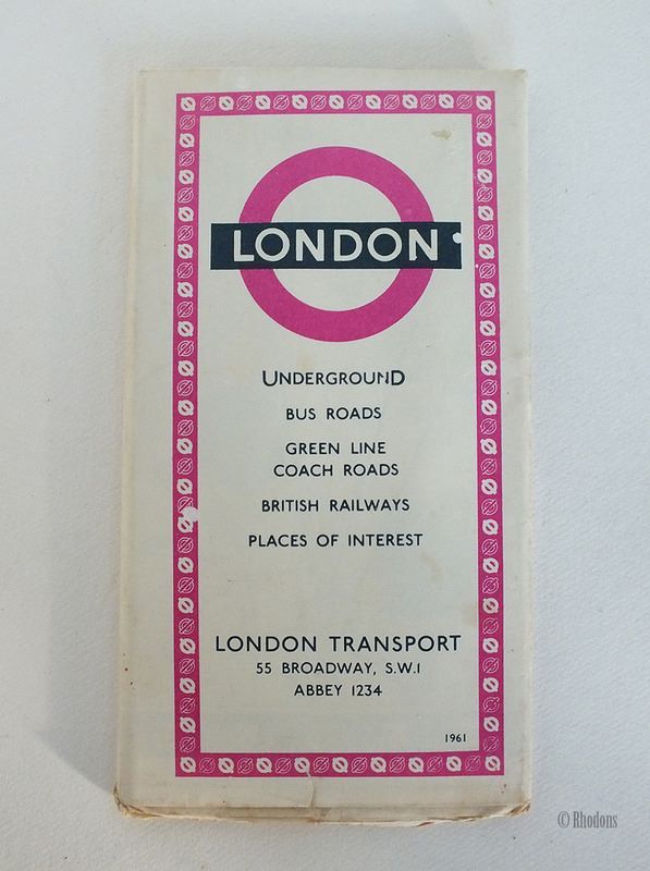
1960s guide to Londons transport system Published by London Transport - Ref No:1060/2512M/250,000
Colour printed atlas sheet map by George Philip & Sons Ltd. carefully removed from an old copy of Cassells New Atlas (5th Edition, May 1930) - Sheet # 60. See photos for scaling. Overall sheet size approx 13.75 inches x 10.25 inches
Vintage colour printed atlas sheet map by George Philip & Sons Ltd. From an old copy of Cassells New Atlas (5th Edition) May 1930
Colour printed atlas sheet map by George Philip & Sons Ltd. carefully removed from an old copy of Cassells New Atlas (5th Edition, May 1930) - Sheet # 65 See photos for scaling. Overall sheet size approx 13.75 inches x 10.25 inches (34.70cms x 26 cms).


