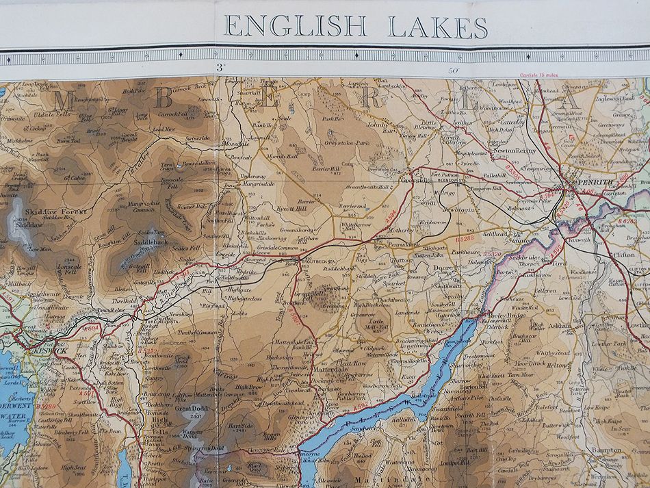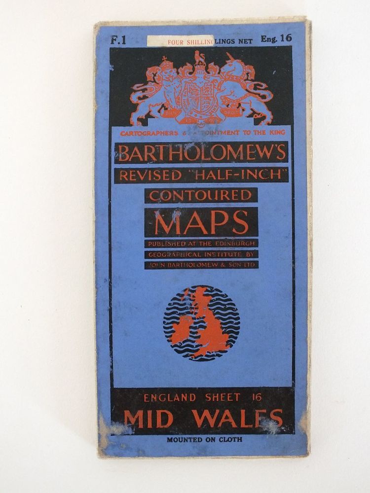
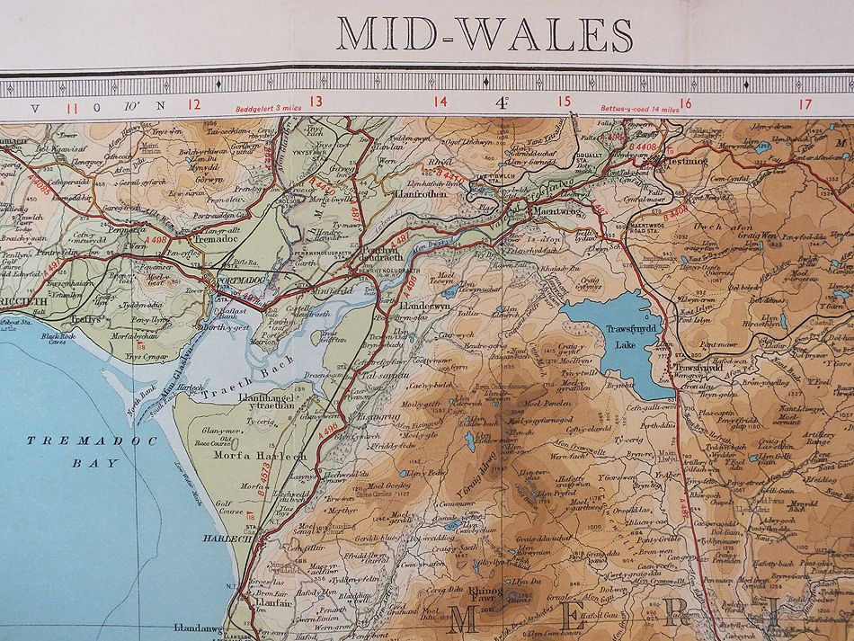
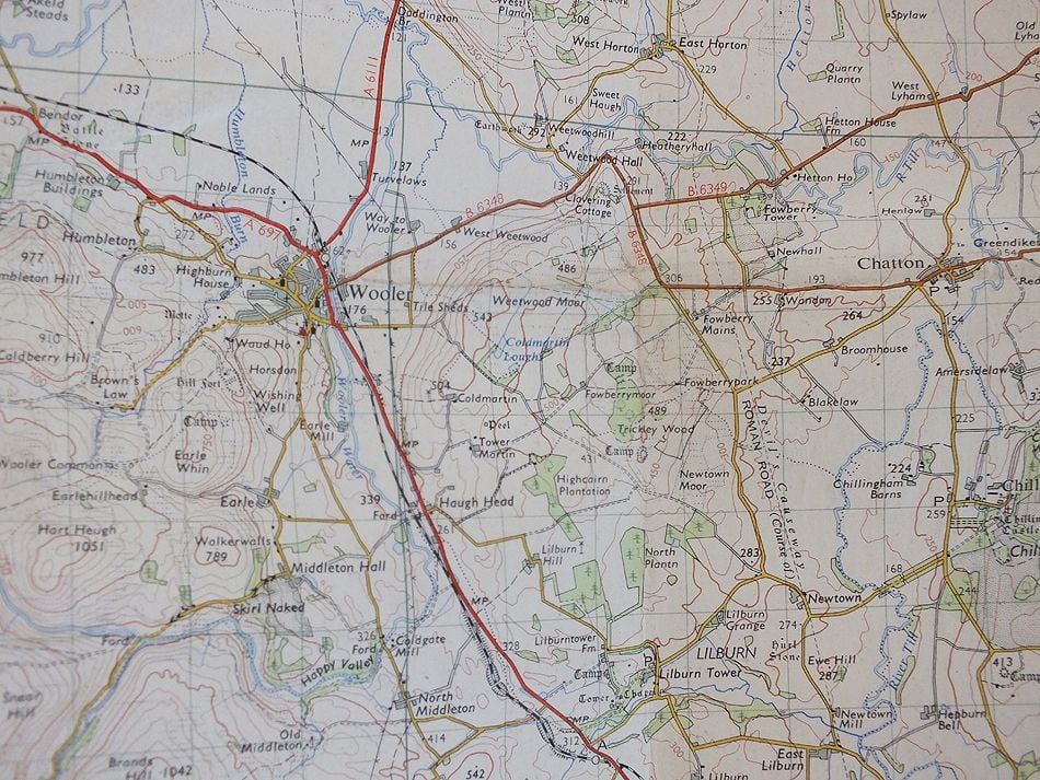
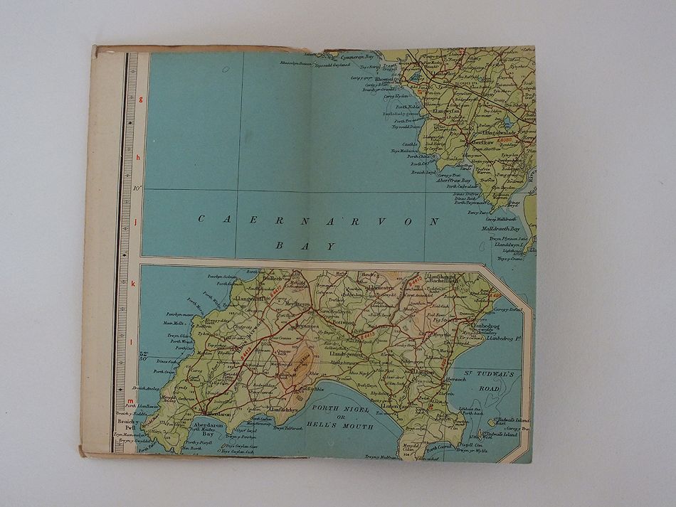
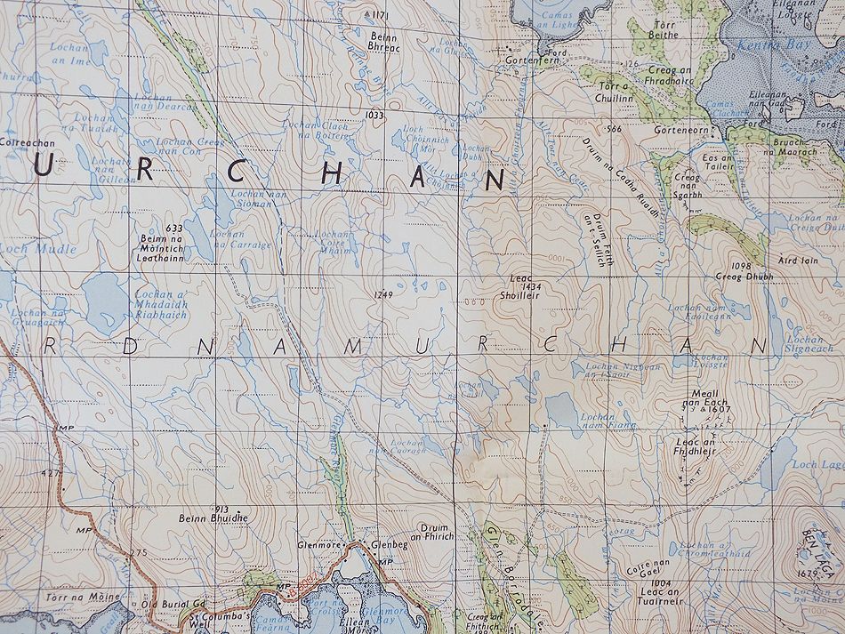
1/2 Inch To 1 Mile Scale
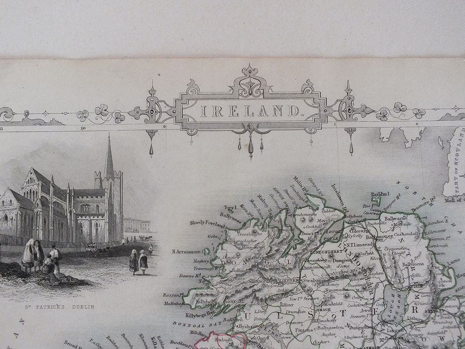
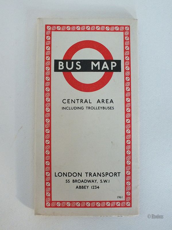
Maps & Atlases
Antique,Vintage, Collectable
Click on the categories below to refine your search

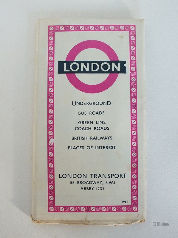
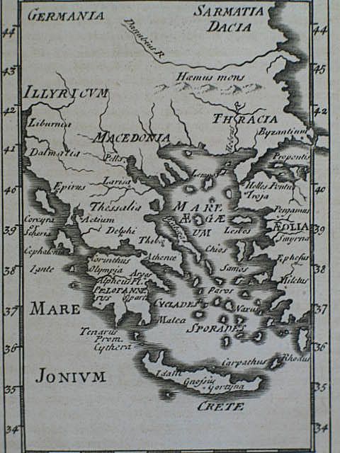
Sorry, this item has been Sold
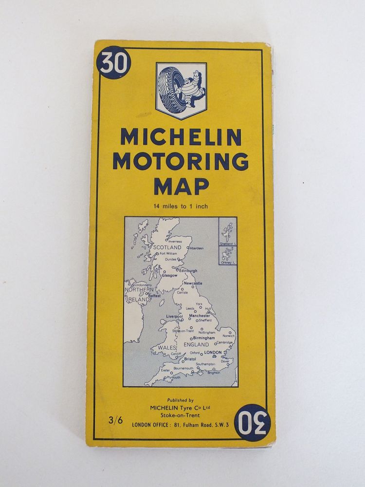
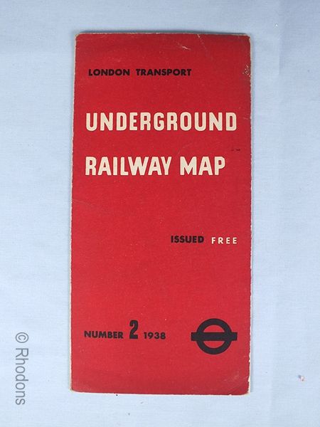
Sorry, this item has been Sold
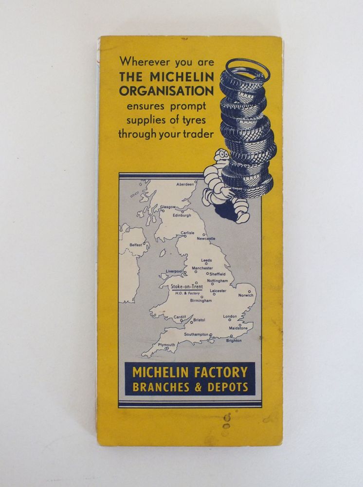
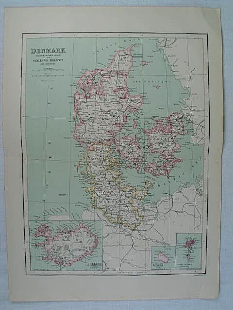
Sorry, this item has been Sold
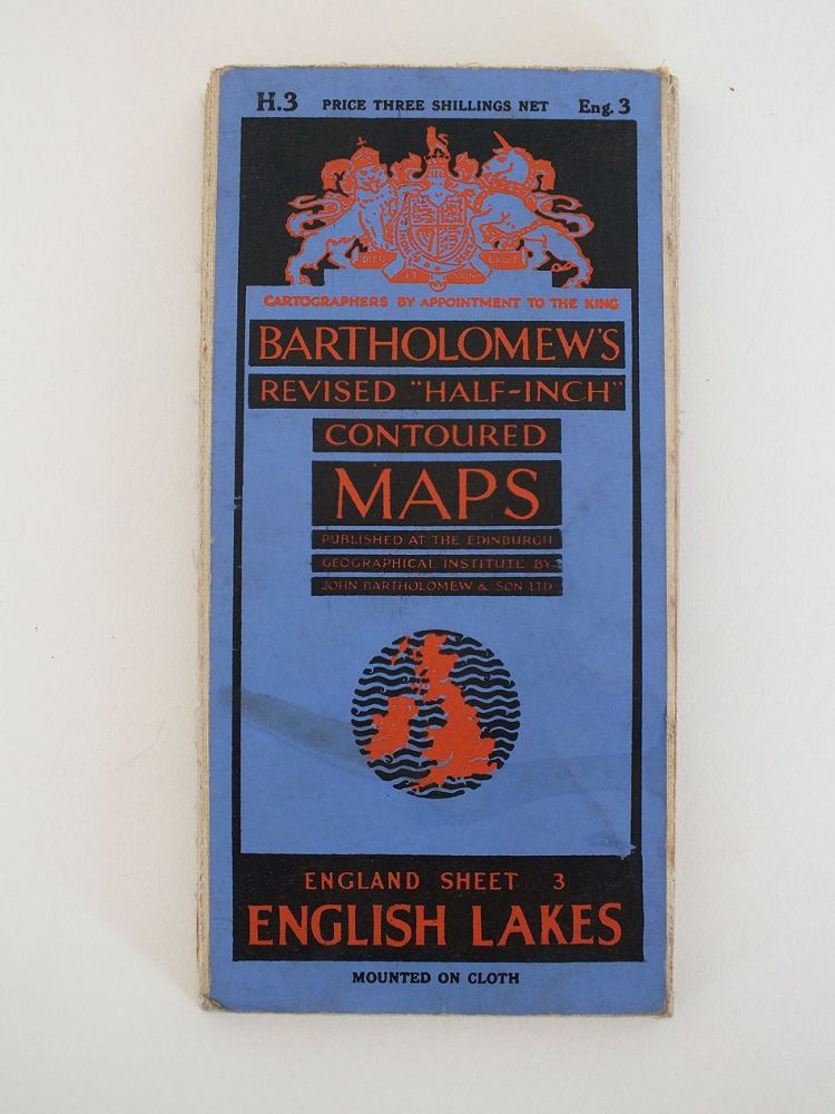
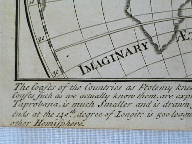
Sorry, this item has been Sold
Sorry, this item has been Sold
Sorry, this item has been Sold
IMPORTANT:
CUSTOMS DUTY /IMPORT CHARGES ON OVERSEAS DELIVERIES;
Please be aware that when ordering from the UK additional Customs Duty / Import Tax(es) may be applied by your country before your item can be delivered - these are not included in the item price or shipping cost and payment is your sole responsibility.
We have no control over these charges and cannot advise you what the cost will be as this varies from country to country.
If in any doubt please check with your local Customs and Excise office for current rates before you place your order.