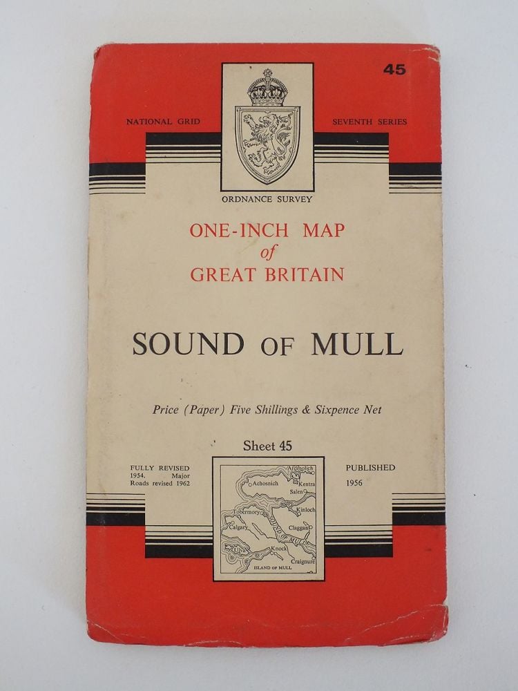
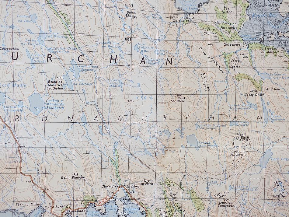
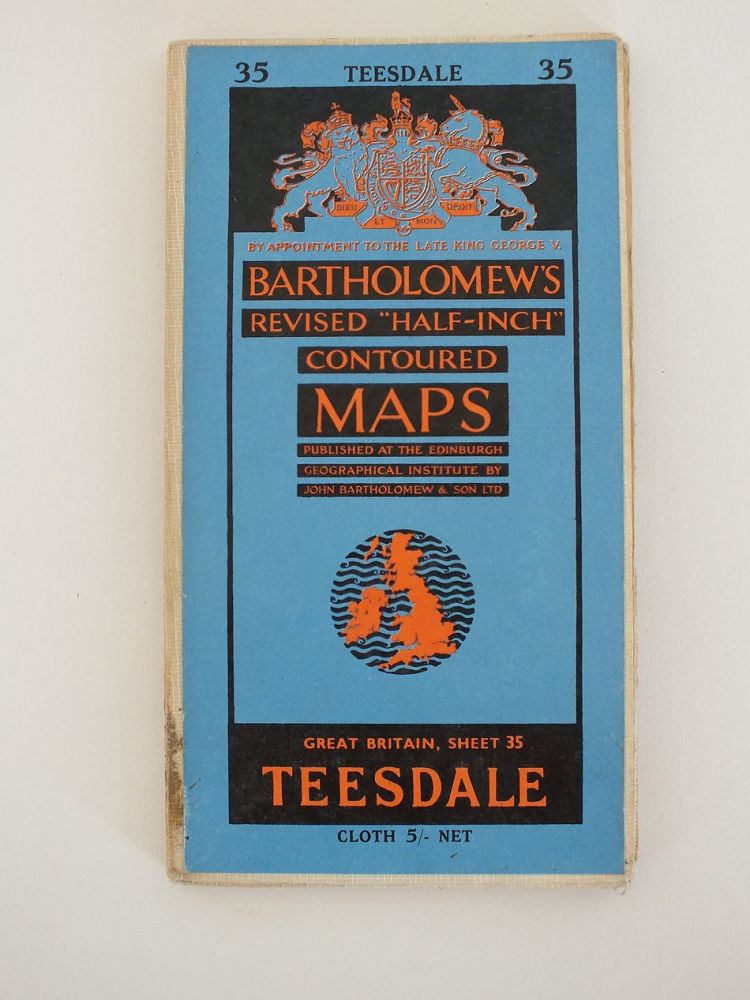
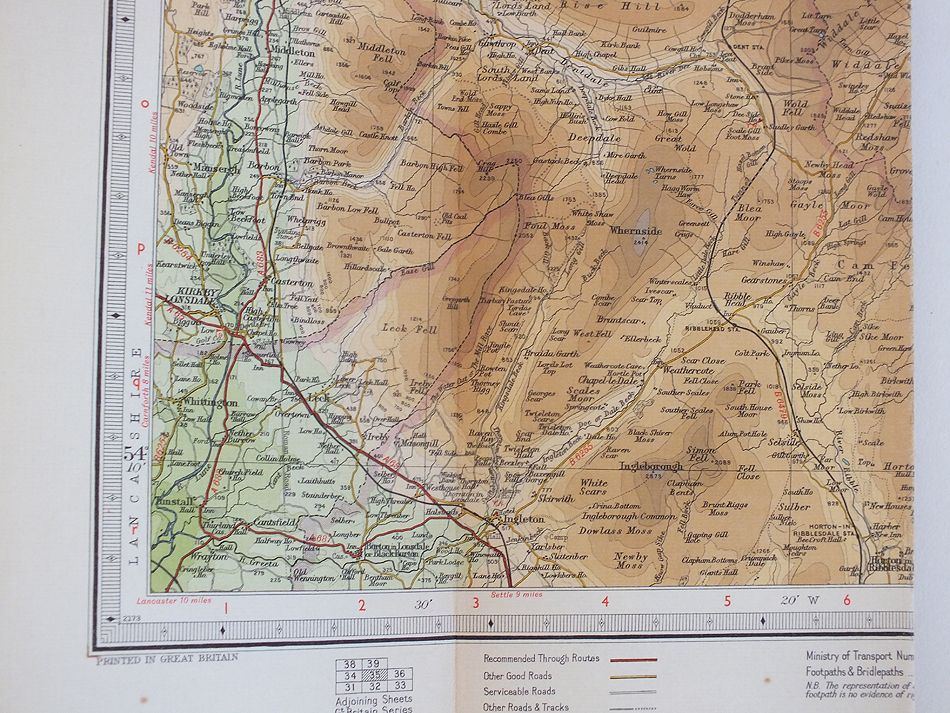
1960s National Grid 7th Series One-Inch Map
20th Century Maps - Shop
20th Century Maps, Map Prints
All Products In This Category:
Colour printed atlas sheet maps by George Philip & Sons Ltd. From an old copy of Cassells New Atlas (5th Edition) May 1930
Vintage Map. Scale 1/2 Inch to 1 Mile, colour printed folding linen backed paper.
Colour printed atlas sheet maps by George Philip & Sons Ltd. Printed on both sides-Choose The East Indies and Further India on one side or The Philippines, Borneo and Java on the reverse side. From an old copy of Cassells New Atlas (5th Edition, May 1930
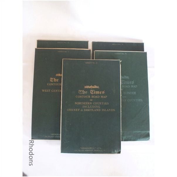
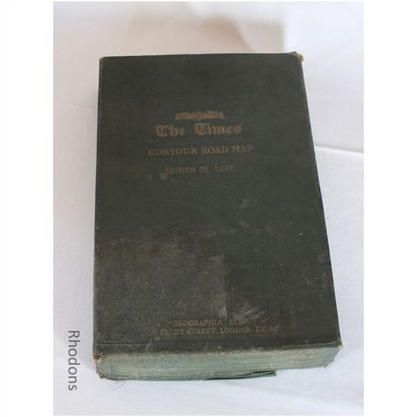
Part set of 5 (of 6) large linen backed coloured fold-out maps & original slip case. Published circa 1920s / 1930s by Times Newspapers. Scale: 3 miles to 1 Inch
Choice of 2 colour printed atlas sheet maps by George Philip & Sons Ltd. From an old copy of Cassells New Atlas (5th Edition) May 1930
Colour printed atlas sheet map by George Philip & Sons Ltd. From an old copy of Cassells New Atlas (5th Edition) May 1930
Colour printed atlas sheet map by George Philip & Sons Ltd. From an old copy of Cassells New Atlas (5th Edition) May 1930
Colour printed atlas sheet map by George Philip & Sons Ltd. carefully removed from an old copy of Cassells New Atlas (5th Edition, May 1930) - Sheet # 23 /24 Two sided sheet-one side showing Map of Central London and London Railways and Suburban Resorts
Sorry, this item has been Sold
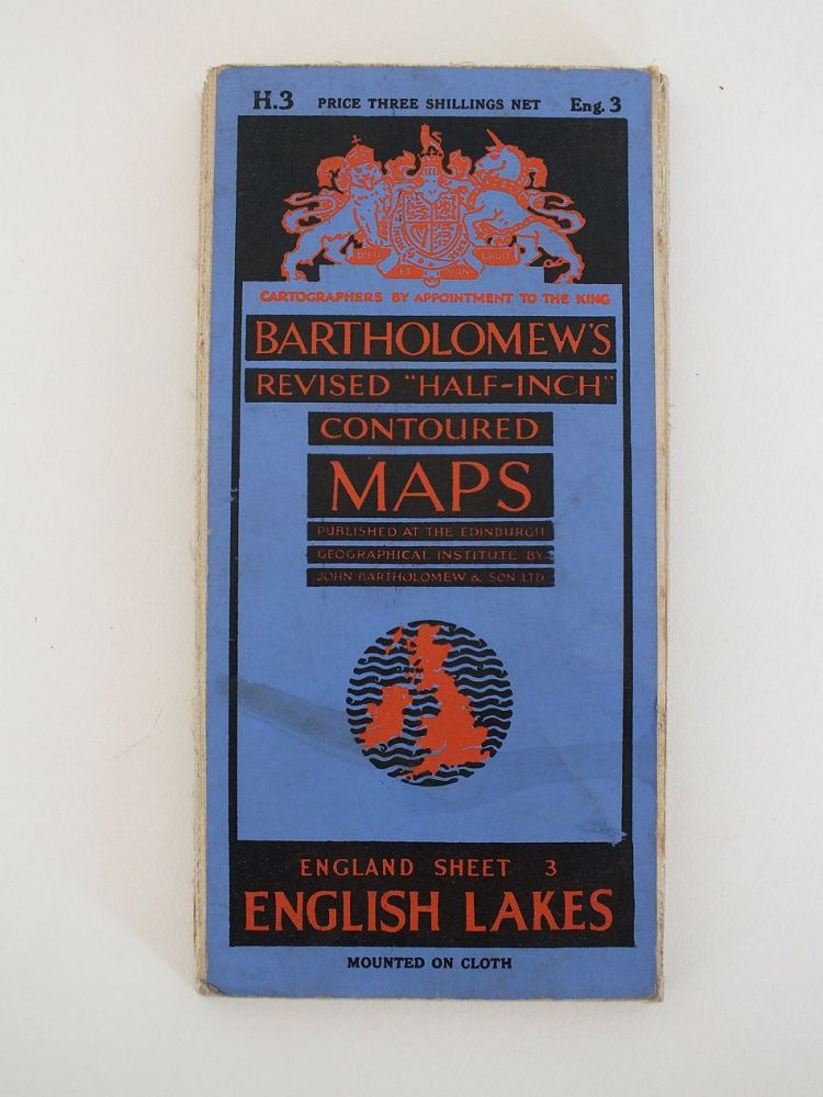
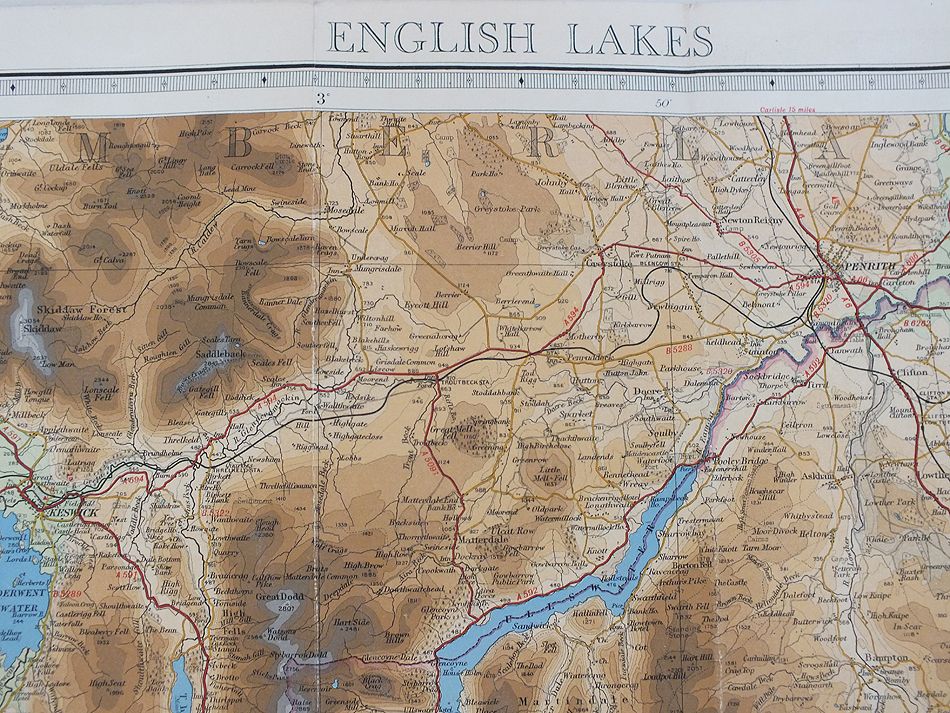
1930s 1/2 Inch to 1 Mile Scale
Sorry, this item has been Sold
Vintage colour printed atlas sheet map by George Philip & Sons Ltd. From an old copy of Cassells New Atlas (5th Edition) May 1930
Sorry, this item has been Sold
Colour printed atlas sheet map by George Philip & Sons Ltd.carefully removed from an old copy of Cassells New Atlas (5th Edition, May 1930) - Sheet # 9 See photos for scaling. Overall sheet size approx 13.75 inches x 10.25 inches
Sorry, this item has been Sold
Colour printed atlas sheet map by George Philip & Sons Ltd. From an old copy of Cassells New Atlas (5th Edition) May 1930
Sorry, this item has been Sold
