-
Map of The British Empire: Historical-Sheet #4 From Cassells New Atlas, 5th
-
Map of The British Empire: Historical-Sheet #4 From Cassells New Atlas, 5th
-
Map of The British Empire: Historical-Sheet #4 From Cassells New Atlas, 5th
-
Map of The British Empire: Historical-Sheet #4 From Cassells New Atlas, 5th
-
Map of The British Empire: Historical-Sheet #4 From Cassells New Atlas, 5th
-
Map of The British Empire: Historical-Sheet #4 From Cassells New Atlas, 5th
-
Map of The British Empire: Historical-Sheet #4 From Cassells New Atlas, 5th
-
Map of The British Empire: Historical-Sheet #4 From Cassells New Atlas, 5th
-
Map of The British Empire: Historical-Sheet #4 From Cassells New Atlas, 5th Edition 1930
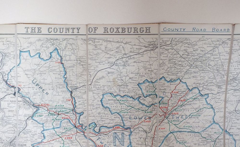
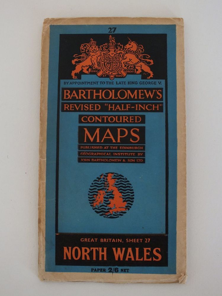
- Colour printed atlas sheet map by George Philip & Sons Ltd. carefully removed from an old copy of Cassells New Atlas (5th Edition, May 1930)-Sheet # 4 See photos for scaling.Overall sheet size approx 13.75 inches x 10.25 inches
-
£8.50